Fitzgerald River National Park

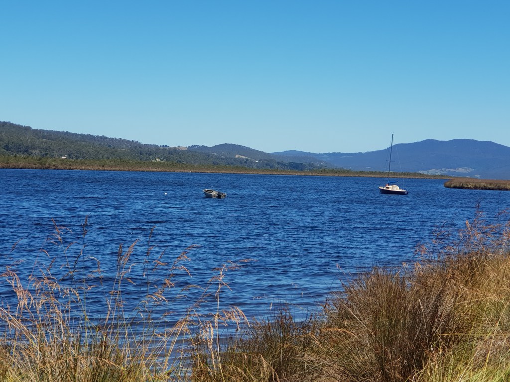
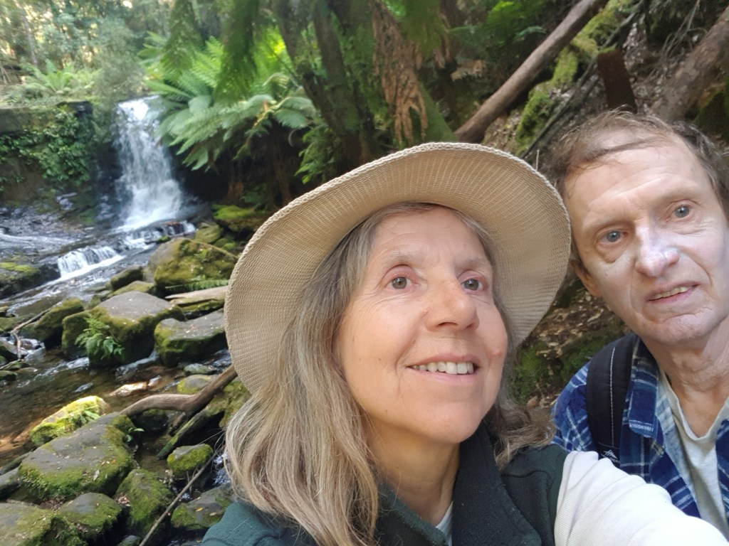
Just when we thought that we had about seen enough of Australian national parks, we stumbled across one that neither of us knew and it took our breath away. Really, it was by accident that we found it at all. Trying to reduce daily travelling times, we had booked a campsite a bit inland from Hopetoun, our next stop after Esperance.

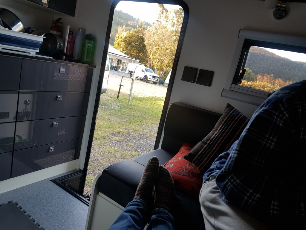
In contrast to Esperance where we stayed in a fully booked caravan park (which was like living in a beehive), now we were on a remote farm tucked into bushland – all by ourselves. Our host, Kim, told us about Fitzgerald River National Park near by. A UNESCO world heritage biosphere. 3000 square kilometer of untouched nature with a rugged coastline, and a wonderland of rare plants and species. Well, we were there, so why not have a look at it?

If we had known what a treasure trove Fitzgerald River NP was, we would have stayed longer. All we had was a 2-hour window on a Saturday morning courtesy of the weather. So we took the closest road in and it was Hamersley Drive a few kilometres north of Hopetoun.

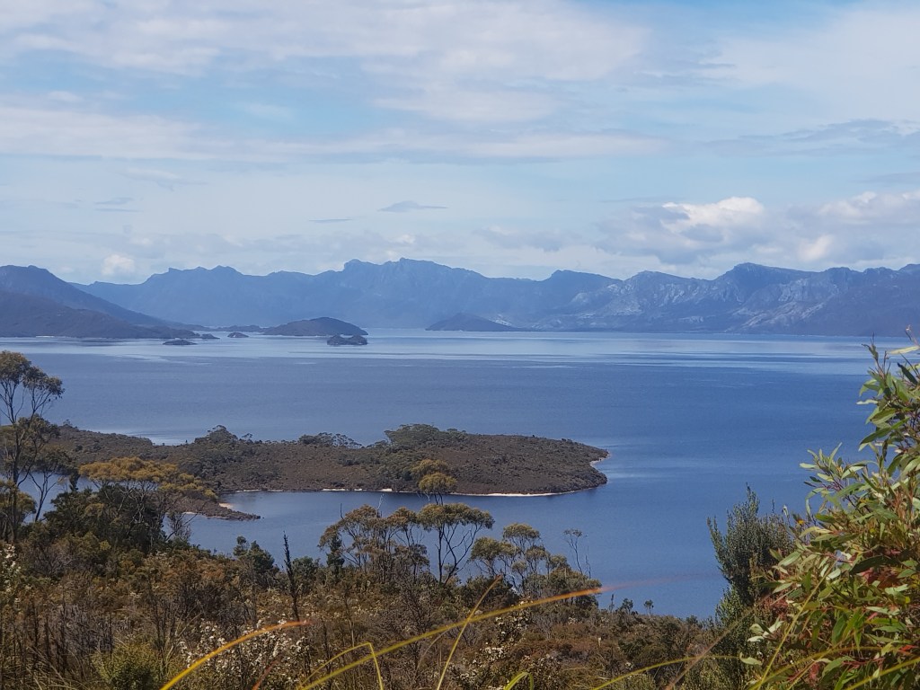
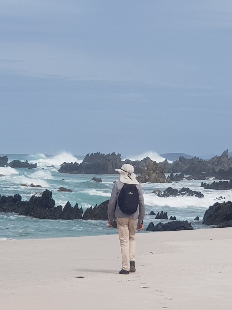
Solitude. To capture the scale and silence of the sweeping landscape is impossible. We walked the Hakea trail from the carpark at the end of Hamersley Drive (that’s the entry point from the east) down to the inlet and across the sand bank to the ocean. And we were the only people on the track. No footprints before us.

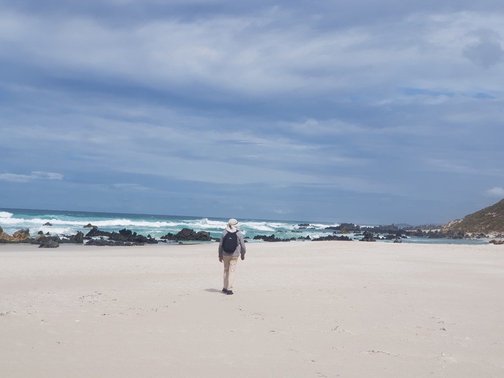
Walking to the edge of the water, we were surprised by the stark beauty of the place: dragon scales hidden in the foam of the waves – wild, unadulterated nature on its own terms.

On the way back we stopped at a lookout that was further inland. When you gaze across the landscape to take in the big picture, the incredible diversity of plants might elude you. While resting, my vision opened and I started seeing it.

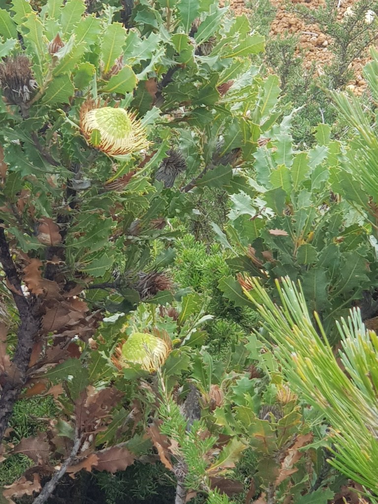
Even at this roadside stop, the variety of plants was astonishing. It was autumn and there were still a lot of flowering plants and shrubs. The pictures above show just two of them. If you want to get an idea what the park is like in spring, have a look at this photography blog. I’m already planning our next visit to the area.

Crossing the Nullarbor, part 1

A 1200-km road through the semi-desert across the world’s largest piece of limestone, most of it in a straight line. A large part of the plain is without trees. This is the Nullarbor (Latin: nullus arbor) that connects South and Western Australia. The plain breaks off abruptly in dramatic cliffs into the Southern Ocean. North of it, deserts stretch for thousands of miles. Everything is vast: the plain, the ocean, the sky, and the distance.

We set off from Penong at sunrise. The farther we drove, the wider the horizon seemed to stretch. Signposts for the eyes (trees, buildings, poles) disappear. The sky expands across the plain in translucent blue, limitless.

It’s disorienting and exhilarating. Then the first milestone: Nullarbor Roadhouse. It is a very busy old outback hotel with a huge area for all the trucks, caravans, cars, and everything else that passes through. The photo below shows the western part of this area and our Scout-14 is the first vehicle on the left.

People stumble out of their cars (or whatever they are driving), gaze at the scenery, gas up, drink coffee, look at the photos of snakes currently active around the hotel, or take selfies in front of the big sign.

We drove on to Border Village just before the WA border to spend the night there and eat our remaining fruit and vegetables. The biosecurity regulations for entering WA are very strict.

Under the Nut at Stanley, part 1

A highlight or trials and tribulations? It was both. Our time in Stanley, a tiny town in the far northwest of Tasmania, was stunning – and stormy. We had glorious weather and severe weather. But first things first. What is the “Nut”? Here is a photo:

This is the view from the beach close to our RV park. From the side it looks like this:

And you can climb on top (or take the chairlift) and look down and try to locate your caravan…

Ours is close to the golf course at the edge of town and close to the beach, in the far distance… All was good but the western edge of Tasmania is also known for its heavy weather and ferocious winds. More about this in part 2.

Getting a new diesel heater

[This post has a prequel. You can read it here.]

Our cheap Chinese diesel heater had broken down. With summer about to end and single-digit temperatures at night, we decided to play it safe and upgrade to a better, more reliable heater. There was only one specialist for diesel heaters in Australia at the time. Fittingly, it was in Tasmania – and to our happy surprise in one of our favourite places: Cygnet in the Huon Valley.

We booked our camper with “DieselHeat” in the middle of February. Juan, the heater specialist we spoke to, told us we could free-camp behind their workshop for two nights (before and after) with power and access to a bathroom. Nice surprise!

On the picture below you can see Mike and Juan inspecting the newly installed diesel heater from below. We had such a positive experience with the guys from DieselHeat – it was like spending time with old friends.

And there was another surprise: When we arrived, we found out that we would be camping next to a tiny house. It belonged to Patrick and Sabrina from Little Latitude, who had their tiny-house workshop right next to DieselHeat.

You can read more about this tiny house and the one they are building here.

At the Bay of Fires

Speechless. How can something be so beautiful? The colours are real, the photos unedited…

The Bay of Fires is located at the North-East coast of Tasmania. It is famous for its red-orange granite boulders and the free camping along the beaches (similar to Recherche Bay). With the Tasmanian school holidays still going, we decided to have a look at these free camps first and booked into a caravan park at St Helens (packed).

It was a very nice caravan park with clean and modern amenities. We could do our laundry and enjoy a bit of civilisation. And as it turned out, the free camps were not that attractive. Crammed with caravans, motorhomes, and trailers; only a few sites with ocean views; and a bit of a cowboy vibe – first come, first served. We even witnessed an instance of road rage with caravans cutting each other off to get to a vacant site. Reviews on WikiCamps reported endless circling of prospective campers all day long. Very unpleasant. We had experienced this on our first day at the Franklin Foreshore – the clouds of dust and the stares of the passengers.

Existence blessed us with shimmering summer mornings. We could even go swimming. In the afternoons the weather reminded us that we were still in Tasmania: Temperatures dropped, the wind turned into gales, and sudden showers had us reach for our rain jackets.

At the end of the world

Geeveston is a grey-nomad’s dream: A small historic town on the left bank of the Huon River with two low-cost reserves for self-contained vehicles (i.e. not reliant on amenities like toilets and showers and fitted with a grey-water tank). Laundromat, library, post office, and supermarket in walking distance; a lovely, relaxed vibe; and a platypus walk along a shady creek. After staying at the equally lovely (and cheap) Franklin Foreshore, we decided to base ourselves there to explore the southern tip of Tasmania.

Chatting with the caretaker of our place about where to go food shopping, we got an interesting reply: “At Geeveston. You won’t get anything further south.” What about Dover and Southport? No shops there. Really? Were we again at the edge of civilisation?

A 1-hour drive down the coast takes you to Cockle Creek. And the end of the road. In the west is the Western Wilderness, to the east Recherche Bay, and to the south the Southern Ocean – next stop Antarctica. Other travellers had told us how amazing it was to stay in one of the free campgrounds along Recherche Bay. However, it was the middle of high season and online reviews described that the area was very crowded.

We decided to leave our camper in Geeveston and drove through the familiar scenery of the Huon Valley with its green valleys and misty mountains. After Southport, the road turned into a dirt road. Sooner than expected. A few 4WDs came charging towards us with caravans in tow billowing dust clouds behind them. Man, it was dusty! The ferns and bushes at the side of the road were covered in it.

As the reviews had said, the place was packed. It was incredibly scenic but every possible nook and corner along the bay was occupied by people, kids, dogs, and the extended family with their caravans, tents, trailers – all looking a bit hot and dusty. Okay, instead of camping, we would just drive as far as possible and go for a walk. We expected hordes of people having the same idea but no: there were only a handful of hikers and the beaches that were part of the track were deserted.

Walking in beauty. Seeing, feeling – and maybe swimming? The water was cold. Too cold? We hadn’t thought about bathers… A woman in a canoe encouraged us to take the plunge regardless. We will be grateful to her forever.

Summer in the Huon Valley

For months it seemed like summer will never come to Tasmania. Yes, we had a “heatwave” before New Year’s eve: one day 33 degrees Celsius, the next day 15 degrees and storms. But when we arrived in the Huon Valley, summer came. Look at this photo taken at Franklin Foreshore 15 km south of Huonville:

This is Mike having a tea break – looking at the Huon River in front of him:

And this is the view behind him:

We loved the small town of Franklin with its Wooden Boat Centre, it’s old theatre Palais, its little shops and cafes, and the dreamy river with its many moods. We loved it so much that we started singing to it each time we drove to it. We took a song from the Avett Brothers called “Brooklyn, Brooklyn take me in” and changed it to “Franklin, Franklin take me in”.

We also loved the tiny blueberry stall at the side of the road. Truly, the best blueberries in the world.

Watching the finish of the Sydney-Hobart race at Constitution Dock

We’ve been immersed in nature but after Christmas an exciting event brought us to the Hobart waterfront bang in the middle of the city. We were camped in the Margate Hills 25 minutes south of the CBD. Instead of leisurely mornings at the campsite, it was now all about getting there early enough to get a parking spot.

It took a bit of getting used to: driving down the A6 into town, towards people, towards action. On our first morning on 26 December all carparks were full already. Then we found Argyle Street carpark. An old concrete council carpark with low beams (so low our aerial hit the ceiling) and maddening traffic up and down the worn-out ramps. It became our city base. Just a few steps down Argyle Street towards the harbour: the best bakery in Tasmania (Pigeon Whole Bakers, we became devotees fast), the best secondhand store for ladies clothes (Goodbyes), TMAG (Tasmanian Museum and Art Gallery), and then Constitution Dock!

The sailing weather was great and the super maxis were on their way for an early finish. Andoo Comanche was expected to cross the line first in the early morning of the following day. It was hot in Hobart; we stumbled around like country folk not used to the city and had very expensive coffees and croissants at a touristy coffee shop at Salamanca Markets.

Next morning when we arrived at the dock, the first few maxi yachts had arrived with Andoo Comanche the first to cross the line. But the weather changed dramatically. The middle-sized yachts would have to battle it out against a storm.

The place was buzzing with energy. One yacht after the other arrived – some with torn sails. All received a warm welcome. Eager viewers were lined up at the quays, clapping and cheering. Happy, tired, elated sailing crews stood on their boats as they came in glad that the ordeal was over and ready to celebrate their arrival – no matter which place they had made in the race.

Several people had told us that we could go up to a boat and chat with the crew. We gave it a go and boy, were they ready to talk! Hundreds of yachts had entered the race, so the arrival continued for a few more days. The last boat made it across the finish line on New Year’s eve just in time for the fireworks.

Mt Field National Park and beyond

Imagine walking through an archway of tree ferns lit up by shafts of brilliant sunlight under towering ancient eucalyptus trees. The smell of the forest, the earth, the creek. Waterfalls you can hear but not see yet. The hidden life of the Tasmanian forest: birds, insects, snakes, marsupials, frogs, and more. Sudden flocks of white cockatoos high above screeching at top volume. Then you come to a bend and see Russell Falls.

No photo can do justice to Russell Falls. Coming down hundreds of metres in tier after tier, it must be experienced in 3D with all your senses switched on. Visitors are scrambling to get a good shot or do selfies. The contrast between the dusky ferns and the intense sunlight reflected in the water makes it quite hard. We managed to get a pic at the smaller horseshoe waterfall.

Then we walked through an area with giant trees. So high you think you are hallucinating.  There is also an alpine region of the national park. We went up on a gravel road for 4WDs to see stunning vistas of the valleys and highlands reminiscent of Cradle Mountain.

In the lower alpine range, the waratah were blooming. Their large crimson blossoms stand out like signposts in the forest tapestry of grey, green, ochre, and brown.

Beyond Mt Field national park starts the large South West Wilderness of Tasmania. Miles and miles of untouched forests, mountain ranges, peaks, and huge lakes. Hardly a soul, just one dead-end road in to the ghost town of Strathgordon and the Gordon dam. Such vastness and silence that it’s hard to find words for it.

At Cradle Mountain – part 3

Read part 1 here and part 2 here.

Our hike the next day was quite different. We walked around Wombat Pool and then up to Crater Lake. It was sunnier and the path had numerous steep sections, some quite hard, but the vistas were incredible. We could see across several lakes all the way to the peak. Spring blossoms everywhere.

Lots of flowers but also a lot more people: tours, families, and bands of serious trekkers setting out on the Overland track (6 days through the Cradle Mountain and Lake St Clair National Park). The path was busy. When we left for the day, the huge carpark at the visitors centre was full.

Later relaxing in our caravan, legs stretched out, feeling happy in body and soul. The weather forecast for the next days predicted gale force winds and snow again. What would it be like for those people on the Overland track? Maybe we will return – with warmer weather – for another visit towards the end of our stay in Tasmania.